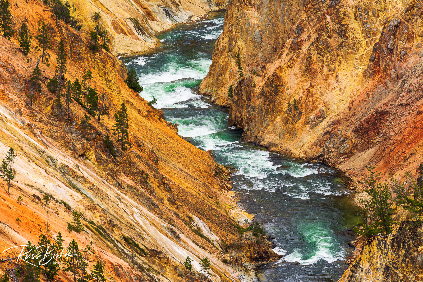
Grand Canyon of the Yellowstone

The Yellowstone River in the Grand Canyon of the Yellowstone, Yellowstone NP, Wyoming
Grand Canyon of the Yellowstone, Yellowstone National Park, Wyoming

The Grand Canyon of the Yellowstone in Wyoming’s Yellowstone National Park is one of the great wonders of the world. Though not as famous, as large, or as old as Arizona’s grand fissure, what it lacks in size and scope, it makes up for in color and curiosity.

As with much of this hyperactive park, the canyon below the Lower Yellowstone Falls was once the site of a geyser basin. During the last ice age large ice dams formed near the mouth of Yellowstone Lake. Then, when they melted, a huge volume of water was released downstream causing massive flash floods and catastrophic erosion that carved through the soft rhyolite lava flows and created the present-day canyon.

It’s unique colors are also a result of hydrothermal alteration and exposure to the elements. Most of the yellow coloring is the result of iron present in the rock rather than sulfur as most people assume. The exposed rocks are oxidizing and essentially the canyon is slowly rusting.

The Yellowstone River begins on the slopes of Younts Peak, south of the park, and travels more than 600 miles to North Dakota where it empties into the Missouri River. It is the longest undammed river in the continental United States, and it’s evolution continues to shape this beautiful canyon.


©Russ Bishop/All Rights Reserved

Antelope Canyon Magic

Delicate slickrock formations in upper Antelope Canyon, Arizona

Antelope Canyon on the Navajo Indian Reservation in Arizona is arguably one of the finest slot canyons in the American southwest, and certainly one of the most photographed. Although beautiful to witness with the naked eye, these jewels of the desert really shine when a long exposure reveals the light and color our eyes can’t perceive – the subtle shades and hues of the sunlight as it plays off the wind and water sculpted sandstone.

Unlike most landscape photography, which benefits from the warm light of dawn or dusk, slot canyons are best photographed midday when the greatest amount of light penetrates the steep and narrow canyon walls. A tripod is mandatory for sharp images with the long exposures necessary to capture the light in these dimly lit passages. And once your eyes have adjusted, the challenge is to create meaningful compositions that lead the eye into the frame and showcase the myriad textures that surround you.

This image was made with a wide 24mm lens and a 30 second exposure – no filter or artificial lighting was used!


©Russ Bishop/All Rights Reserved

Along the Waterpocket Fold

Volcanic boulders and sagebrush under The Castle, Waterpocket Fold, Capitol Reef National Park, Utah USA (Russ Bishop/Russ Bishop Photography)

Morning light on volcanic boulders under The Castle,  Capitol Reef National Park, Utah USA

Utah is a geologic wonderland and exploring its myriad canyons and plateaus is journey through time. With one of the highest concentrations of parks in the country from iconic Bryce, Zion and Arches to the seemingly endless expanse of Grand Staircase-Escalante National Monument, one could spend their entire lifetime on the Colorado Plateau and still not see it all. Yet there are still grand vistas worthy of protection in this vast landscape making the prospect of seeing it and preserving it a lifelong pursuit.

One park that often gets overlooked is Capitol Reef. West of the Henry Mountains and east of the town of Torrey, it straddles the most prominent landform in the area – the Waterpocket Fold. This massive upheaval in the earth’s surface (a monocline in technical terms) is over 100 miles long and exposes some 70 million years of our planet’s evolution.

The town of Fruita along Highway 24 on the Fremont River corridor is rich in Mormon pioneer and Native American history. Surrounded by orchards under the towering sandstone cliffs, it’s a beautiful spot to spend a day or a week exploring the natural wonders of this special park.

Capitol Reef National Park contains nearly a quarter million acres in the slickrock country of central Utah. And with only one paved road bisecting it,  it’s not hard to find your own space to photograph, hike, or simply contemplate the incredible light and form along the great expanse of the Waterpocket Fold.

©Russ Bishop/All Rights Reserved